Garmin

SEE ENHANCED WEATHER IN THE GARMIN PILOT™ APP

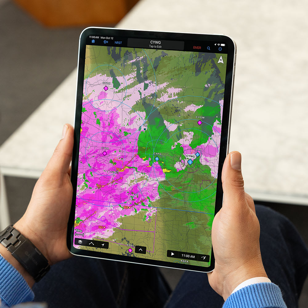
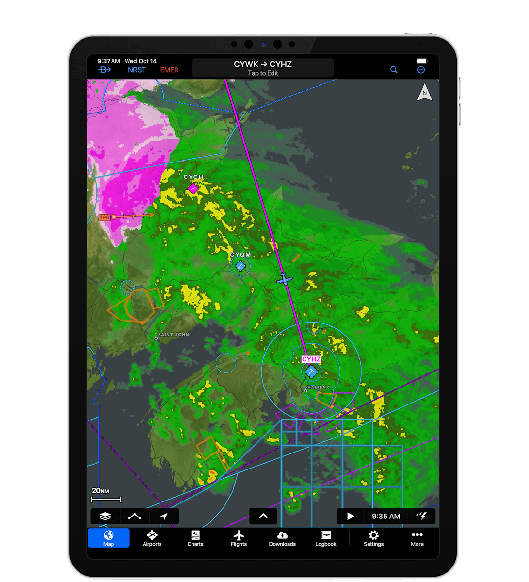
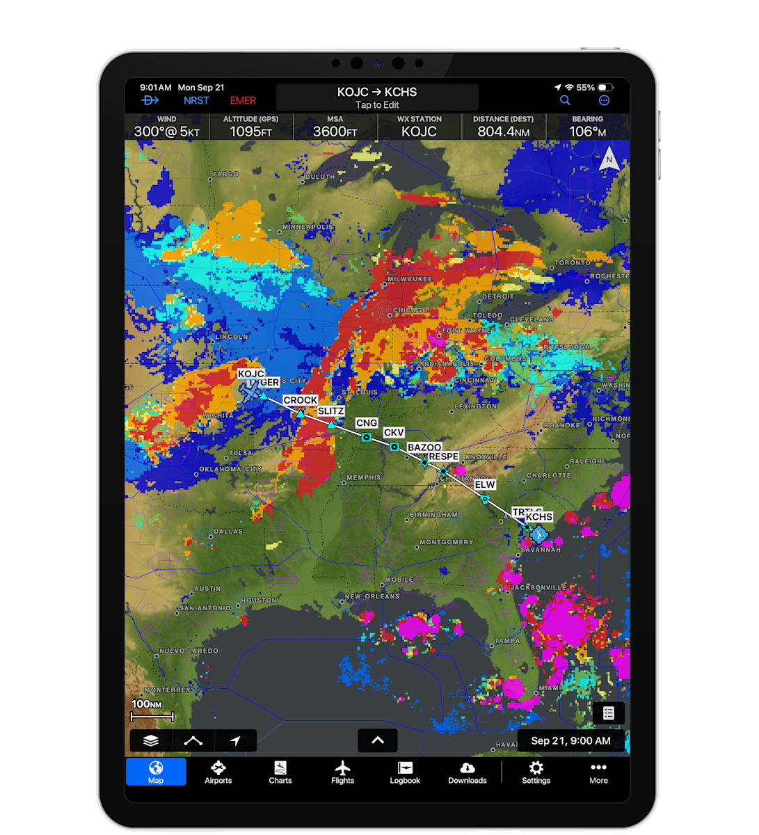
Garmin Pilot now delivers a more complete weather picture for your preflight planning and in-flight toolkit. View enhanced composite radar along your route in the continental U.S. and newly expanded composite radar in Canada and Mexico. Garmin Pilot makes it easier to make more informed decisions about your flight.

EXPANDED CANADA AND MEXICO RADAR COVERAGE

Access expanded composite radar coverage in Canada and new composite radar coverage in Mexico. Get a better view of active weather across North America, including rain, snow and more. Available now for Apple mobile devices and web.

NEW WEATHER LAYERS

New forecast cloud layers are now available on Garmin Pilot. Easily see the forecast cloud tops, bases and cover along your route. Forecast cloud layers are now available for Apple mobile devices and web.

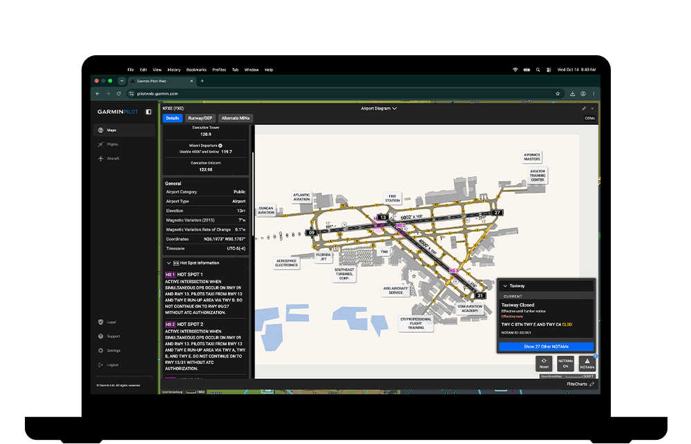
SMARTCHARTS AIRPORT DIAGRAMS AND GRAPHICAL NOTAMS FOR WEB

SmartCharts airport diagrams and Graphical NOTAMs are coming soon to Garmin Pilot Web. Easily see airport lighting systems, hold short lines, windsock locations and more. View color-coded overlays that indicate closed runways, taxiways and ramps, conditionally closed runways and taxiways, and time-based closures.

HAVE YOU TRIED MOBILE CLEARANCE DELIVERY YET?

Curious about Mobile Clearance Delivery? Discover how you can use Garmin Pilot on Apple mobile devices to pick up your text-based IFR clearance at select U.S. airports. Three new airports have been recently added: Austin Executive Airport (KEDC), Georgetown Executive Airport (KGTU) and San Marcos Regional Airport (KHYI).